Environment— Feature
The Quota Meeting
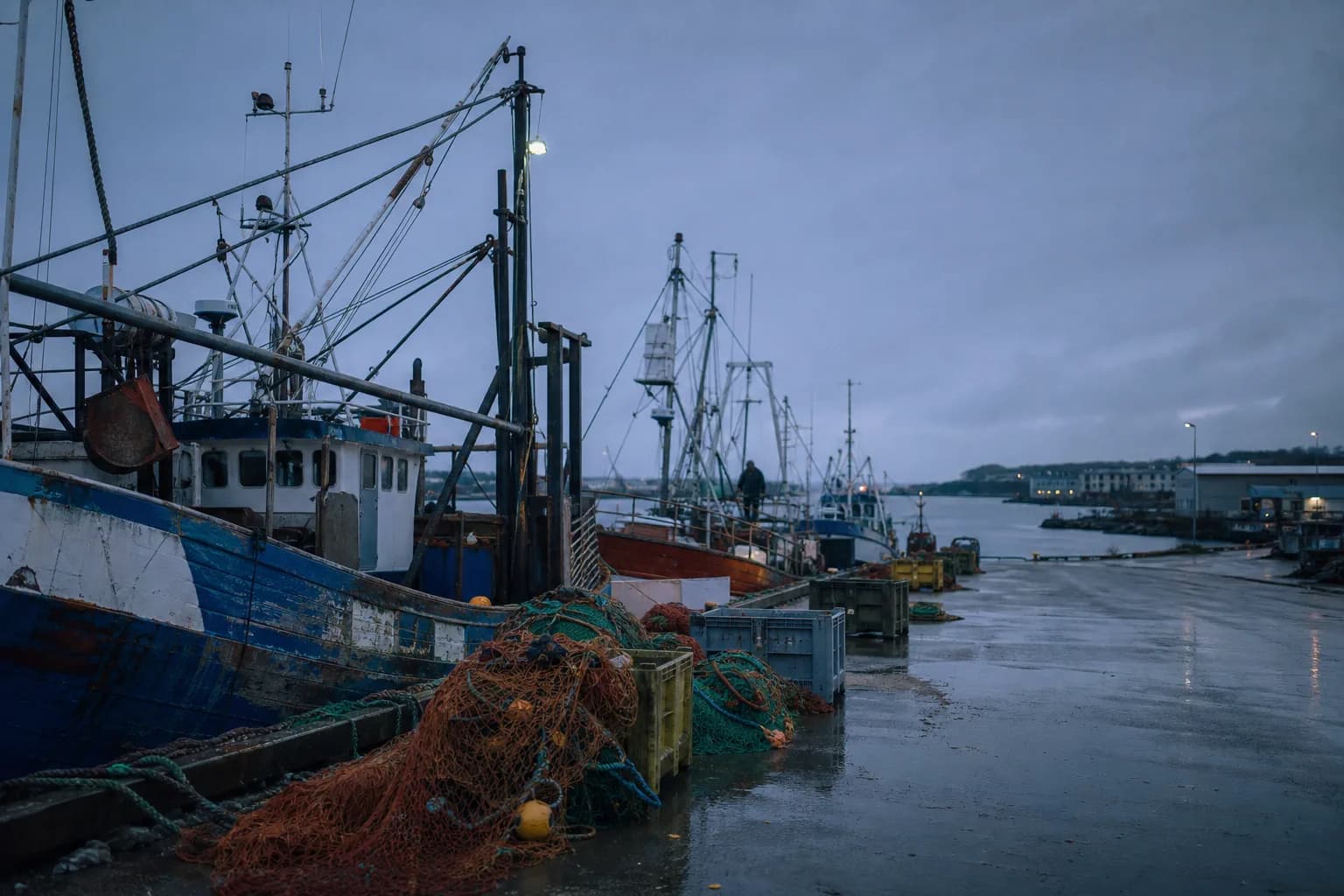
Fishing quotas are set annually in a room most fishers will never enter. Veyra sat outside one for eleven hours and spoke to the people on both sides of the door.
Cities— Feature
Three cities have started measuring shade the way they measure water pressure. The results are redrawing where people can walk in the afternoon.
Singapore —
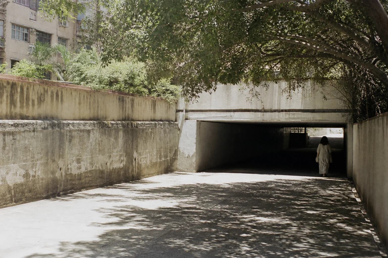
At two in the afternoon on the last Thursday in April, a research assistant named Farah Idris walked eleven kilometers with a backpack of instruments, stopping every forty meters to record temperature, humidity, wind, and the fraction of sky obscured above her head.
She has walked variants of that route eighty-three times. The dataset she and four colleagues have assembled is, as far as anyone involved is aware, the most granular record of pedestrian shade in any city in the region.
It exists because of a question nobody in the city’s planning apparatus could answer in 2023: how much shade does this city have, and where.
Cities keep meticulous registers of pipes, cables, streetlights, and drains. Almost none keep a register of shade, because shade is produced incidentally by things that were built for other reasons — a building’s setback, a bus shelter’s roof, a tree planted for a different administration’s reasons in 1978.
That means shade has no owner, no maintenance budget, and no protection. A tree removed for utility works and a canopy lost to a redevelopment are the same event from the pedestrian’s perspective and entirely different events administratively.
We protect the drain because the drain is on a map. Shade is not on a map, so shade is negotiable.
Two findings from the survey have moved into policy discussion, and both are about distribution rather than totals.
First, the city’s shade is not scarce in aggregate. It is fragmented. A route can be 70 percent shaded and still be intolerable, because the unshaded 30 percent occurs in three long unbroken stretches, and physiological recovery does not average.
That last point complicated a narrative several people expected. The strongest predictor was not wealth but street width and planting standards at the time of construction — which means the inequity is fixable by planting rather than by redistribution, though on a thirty-year timescale.
Similar programs are running elsewhere, with different methods. One uses vehicle-mounted sensors, which cover far more ground and systematically miss the sidewalk. Another uses satellite canopy estimates, which are cheap and cannot see an awning.
Idris’s team walks, which is slow, expensive, and the only method that measures the experience the policy is supposedly about.
The proposal now under discussion is modest and, in its way, radical: add shade to the municipal asset register. Once a thing is on the register, removing it requires a reason.
Idris is realistic about the timescale. “Trees I argue for this year are shade in 2045,” she said. “The awnings are faster. Nobody writes papers about awnings.”
Correspondent, Cities
Priya Raghunathan covers the built environment across South and Southeast Asia, with a persistent interest in the unglamorous machinery of density: drainage, shade, cooling, and the maintenance budgets nobody campaigns on. Before Veyra, Raghunathan spent five years as a municipal planning analyst, an experience that produced both the reporting instincts and the impatience.
Keep reading
Fishing quotas are set annually in a room most fishers will never enter. Veyra sat outside one for eleven hours and spoke to the people on both sides of the door.
Saltwater intrusion is measurable, predictable, and largely unmonitored at the depth where it matters. What three well fields reveal about the gap.
Four months at a working harbor, photographed at shift changes. A study of labor, weather, and the particular light of a northern winter.
The Dispatch
Not a digest. One piece from the archive or the week ahead, with a note from the editor on why it was worth the reporting time.